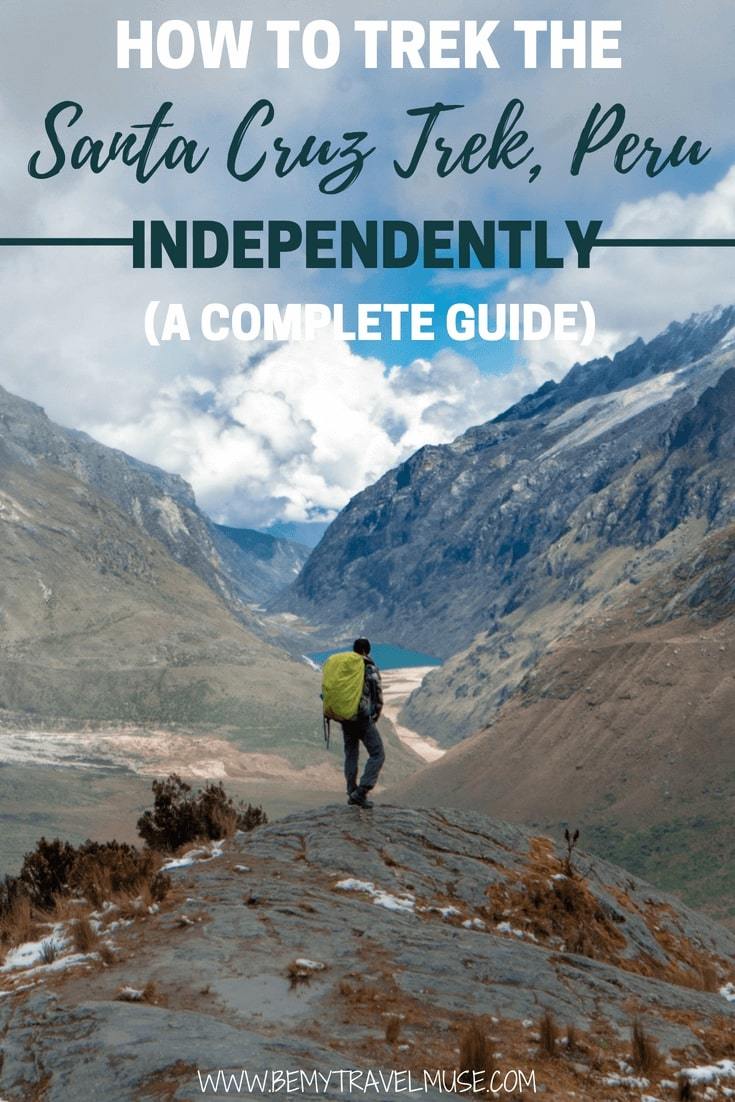
Back in October while scrolling through Instagram, I landed on a photo of the Cordillera Blanca mountain range in Peru and was instantly hooked. The lake looked so blue, and the mountains so dramatically-shaped and snow-capped. It looked like Peru’s version of Patagonia. When I researched it more, given my time constraints, the 4-day Santa Cruz trek out of Huaraz looked like the perfect way to see the best of it.
When I first started planning my Santa Cruz trekking experience I knew that I wanted to do it on my own. As fun as it can be hanging out with a group, there’s something wonderful about packing up your own bag and going at your own speed through the mountains. You get to make all of your own decisions and it’s possible to get a lot more solitude on an otherwise very popular trail.
I found plenty of blogs and websites online before I started the hike myself, but most of them left out incredibly important information or even made irresponsible suggestions.
After having a gorgeous and issue-free hike on the Santa Cruz trek myself, these are all of the things I learned about having the best possible experience out there:
1) Benefits of doing the Santa Cruz trek solo vs. with a tour
If you’re still weighing the options, these are the pros and cons of doing the trek with a group versus independently:
With a group:
- Benefits: The biggest benefit of taking a guided tour is not having to carry your own gear. Donkeys are used on the trail, the food is already planned out, and you don’t have to do much planning at all. You’ve also got a guide with you so if anything goes wrong, you’re taken care of.
- Drawbacks: You’ll be going at the pace of the slowest person in the group, and will not experience any solitude. You’ll also pay more to do it this way. Expect to pay between 350 to 400 soles. If you’re being asked to pay more, go and ask at another shop.
Independently:
- Benefits: You get a lot more solitude, especially if you follow the route I suggest below, and the biggest thing for me was being able to go at my own pace. I also got way more time at the famous Laguna Arhuaycocha, waiting until the tour groups left and getting it to myself. That was more than worth it to me! It was also cheaper. Between renting a tent and buying my own food, plus the transport, it cost about half of the tour price. It’s not a big enough difference to make a decision solely on finances, I think, but my purpose was to have more independence.
- Drawbacks: You have to carry everything, do all of your own prep, and be totally self-reliant.
2) You already know, it’s at altitude
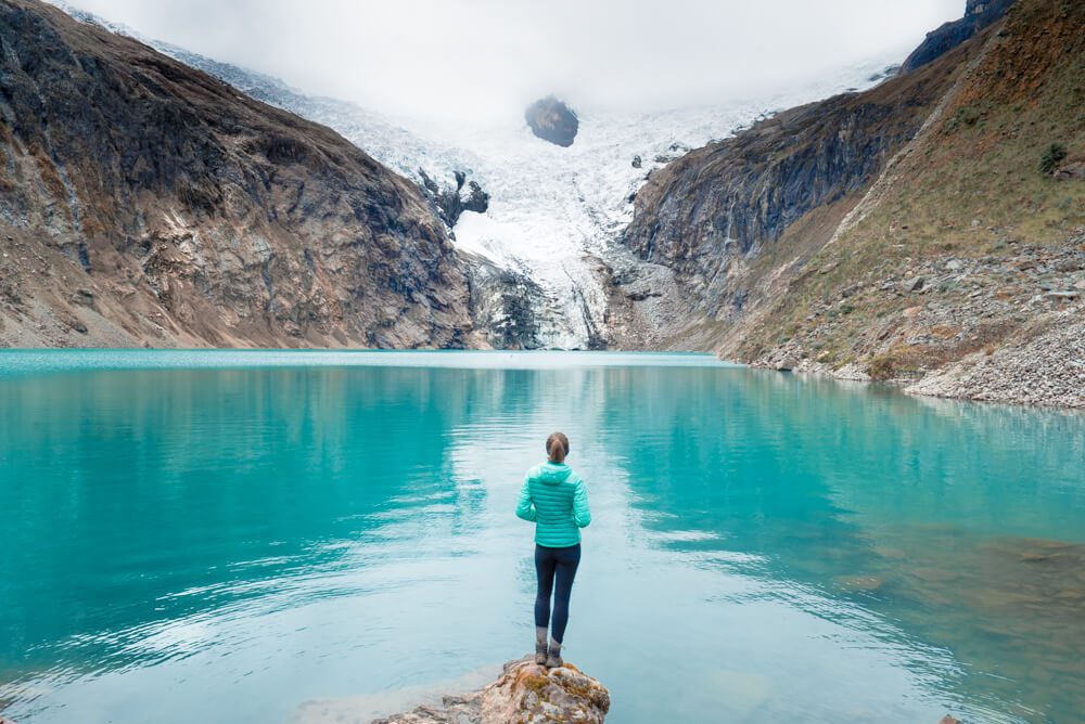
But in case you didn’t – surprise!
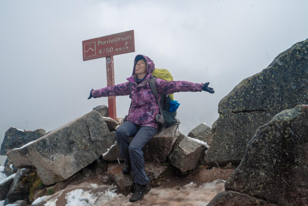
The highest point of the trail is at 4750 meters (about 15,583 feet!), and most of the trail, particularly the hard parts, takes place over 4000 meters.
If you’re considering doing this trek independently, this probably isn’t your first rodeo, but still, don’t take the altitude lightly. Give yourself plenty of time to acclimate in Huaraz before you go, do preparatory treks like the Laguna 69 first to see how you do, prepare to be out there for an extra day if need be, and don’t go if you don’t feel well.
Some people advise taking medication for the altitude. I have personally never done this, even while hiking the Annapurna circuit in Nepal and Rainbow Mountain outside of Cusco, both of which are higher. Everyone has to decide this for themselves, but I personally want my body to be able to communicate with me, and the side effects are dehydration and sensitivity to sunlight, both of which are incredibly unhelpful at altitude!
To be completely honest, I had no problems whatsoever with the altitude. I took 3 days/4 nights in Huaraz to acclimate, hiked Laguna 69 the day before, and drank plenty of water all along the trail. While I know that everyone is different and a lot of people struggle on this trail, the biggest reason is not giving themselves enough time to acclimate.
3) What to bring
I wrote this list as I packed so that I couldn’t possibly leave anything out of this blog post. Here’s everything I brought:
Food
I decided to err on the side of caution and bring enough food for four nights in case I had issues on the trail with altitude and needed to take it slower. This made my pack a bit heavier but I think it’s worth it to be prepared for a worst-case scenario when you’re trekking independently. If shopping in Huaraz, I recommend the Novaplaza for one-stop shopping, although if you’re a kind soul who wants to support the small guys too, buy your candy bars and dried fruits at the smaller markets:
- 500 grams pasta
- 4 85-gram pasta sauces (I would have loved powdered soup instead since it’s lighter but could only find pre-made sauce)
- 300 grams oatmeal
- Powdered milk and chocolate milk
- 4 Snickers bars (hiker’s gold)
- 400 grams dried fruit and nuts for lunches
- 4 small packs of Oreos
- 1 small salami
- Coca leaves
- Enough ziplocks to portion out each meal
Gear
I brought my own gear with the exception of the cooking equipment and tent. I do wish I’d had my own tent. You never really know if you got a leaky one until it’s too late, which unfortunately for me, meant drying out my tent every afternoon:
- Trekking poles
- Light tent
- Lightweight sleeping bag for 0-C or under: It’s very important that your bag keeps you warm and doesn’t weigh much!
- Sleeping mat (this is so worth the money! How did I ever use anything else?)
- Backpack that can fit all of your gear inside. It will rain, a rain cover often isn’t enough to keep your sleeping bag dry, especially if it’s windy and the cover blows right off.
- Headlamp
- Hiking boots: I love this pair, even after 8 days in Alaska I didn’t have a single blister, and they keep my feet warm and dry
- Camp stove, lighter, and one gas canister
- Camp pots and fork, plus sponge
- SteriPEN, or some other method to sterilize your water
Clothes
I always just bring one set of clothes for hiking in, and one for sleeping in, with enough undies and extra socks. Keep the weight down!
- 1 pair waterproof gloves
- 4 pairs of thick socks
- 2 warm merino layers
- 1 sports bra
- Enough underwear to change daily
- 2 pairs of yoga pants or whatever you prefer to hike in
- 1 waterproof ski jacket
- 1 pair hiking boots
- 1 pair camp shoes
- 1 beanie
- 2 thin neck warmers that can double as ear warmers
- 1 hat with brim
- Sunglasses
Other Essentials
- Sunscreen
- Diva cup
- Bug spray (wasn’t necessary in May but I’ve heard it can be buggy at times)
- Compeed blister bandages
- Small first-aid kit with medical tape
- Waterproof map
- Toilet paper and baby wipes and a ziplock to keep them in when you’re done using them. Pack them out!
- I also insure myself with a travel insurance that covers adventurous activities like hiking, because you simply never know!
4) Getting There
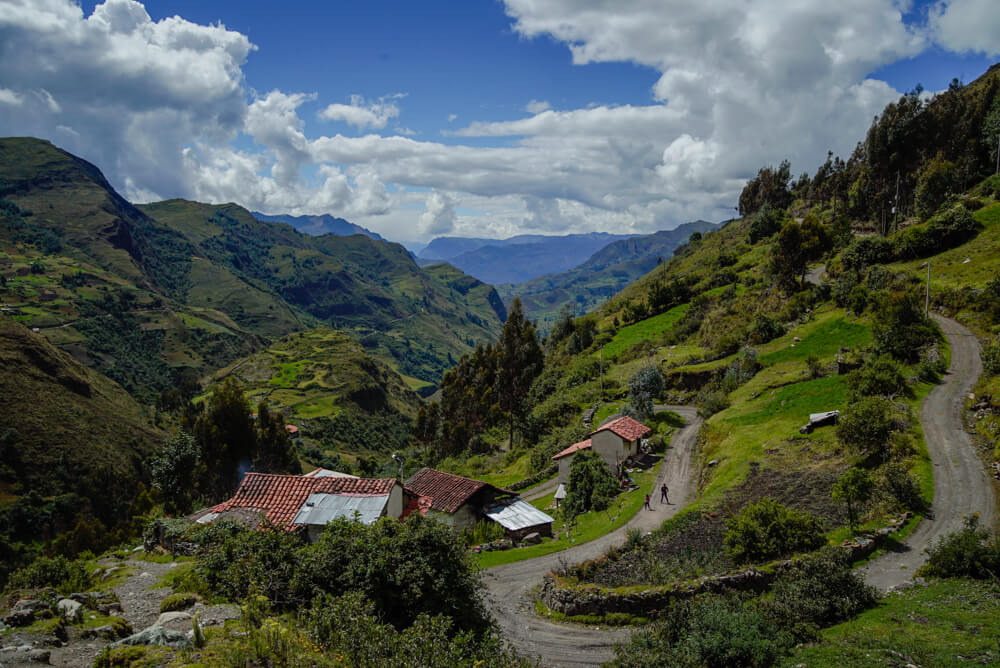
My story of getting there was interesting, and will also prove informative: After quickly packing up and leaving my hostel the first morning of my planned trek, I realized that every blog I’d read, and my map, advised getting a collectivo in Huaraz (combi taxi) but failed to mention where that happened.
I walked around town in the dark, bound for the center, figuring that must be the right track. A couple of locals I asked saw an opportunity and suggested I take an expensive taxi, claiming that the last collectivo left at 4am. This is false. A kind soul overheard and walked up next to me and quietly said, ‘three more blocks.’
Thankfully, just as the clock hit 5:30 I saw a collection of collectivos and asked at the first one, ‘Yungay?’ The driver briskly nodded a quarter of a centimeter and started rolling forward. I jumped in and marked down the spot where I found him – it’s here you’d probably like to know. It costs 5 soles, and not an extra 3 for your bag like the guy tried with me. (I gave him a quick, ‘bruh, nah,’ and he dropped it).
For the next hour and a half we regularly pulled over to pick up and drop off passengers. I made it to Yungay close to 7am and was immediately greeted by an enthusiastic driver who beamed, ‘Vaqueria?’ and escorted me to his van. He knew why I was there. This ride should cost 20 soles and he will stop at the park entrance for you to buy your 60 sole-ticket. Go for the 3-day one, they only check your ticket once at the beginning.
The drive was the most terrifyingly beautiful of my life. The pass was snowed in, and I was pretty sure that beat up old van didn’t have winter tires, if they even had tread. Two sharp curves had snow so deep he got stuck, backed up on a blind curve with no railing and a bunch of crosses (others who didn’t make it on that curve) and made it on the third try. I tried not to pee my pants.
To get back out, you’ll hike to Cashapampa where a collectivo picks up right at the end of the trail, bound for Caraz. This should cost 10 soles and chances are good you’ll be in a sedan packed with 8 people – no joke. The drive from Caraz to Huaraz should cost 5-6.50 soles.
5) Route planning
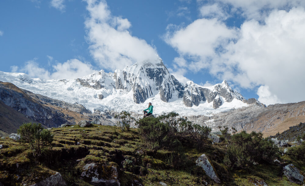
For the most part, the trail is obvious although it does branch in some parts and you need to know when to be looking for a fork in the trail and what to do if you get to the higher elevations and the trail is covered in snow.
It is helpful to have a waterproof topographical map. Anything else will just disintegrate. I bought mine at Quechuandes and thought it was great to get a sense of the elevation gain and loss and to know when to anticipate the forks in the trail. However I did not follow the exact route they suggested.
I highly suggest downloading the route on the maps.me app as well. Not only will it help you out when you have deviated from the trail, it has all of the other campsites listed on it that the tour groups do not camp at. This was incredibly useful for me to avoid having to ever share my campground with anyone else. It was awesome.
This is my suggested route:
- Day One: Take the 5:30 AM collectivo from Huaraz to Yungay and onwards to Vaqueria. You should be able to begin hiking at around 11 AM. Keep a good pace and go beyond Paria to the first unofficial campsite on maps.me. (Note: I made sure this was fine with the Ranger before doing so. However please only camp in designated campsites. They are clearly marked on maps.me. These campsites do not have facilities so it is incredibly important that you practice Leave No Trace principles, including taking your toilet paper out with you).
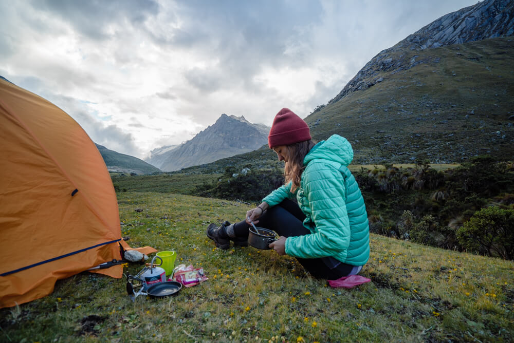
- Day Two: Having completed part of the uphill already by pushing beyond Paria, it will be easier getting to the Punta Union pass. I would still leave right at dawn. I made my way down to the first Taullipampa campsite — there are two — by 2 PM. This is the campsite in the photo above, and is less crowded than the second Taullipampa campsite where the tours camp. That said, I wish I had realized that there is another, better campsite at Alpamayo Base Camp. I could have reached it by 4:30pm or earlier. That would’ve given me an opportunity to see the Laguna Arhuaycocha at sunset and sunrise without having to share it. It would be an incredibly long day to get there but I will power through if there’s a next time.
- Day Three: Since I hung out at Laguna Arhuaycocha for most of the afternoon, I stopped at a campsite an hour before llama corral so that I could have more solitude, and it was perfect.
- Day Four: I really powered through so that I could be in Cashapampa before the final collectivo, which is usually around 3 PM. In hindsight I could have walked a bit slower, but it’s a lovely downhill which gets a bit steeper at the end through a gorgeous valley to the end.
If you’re a fast hiker and experienced with backpacking, feeling good, and you make it to Alpamayo Base Camp on day two, it’s possible to combine days three and four and finish the trek in 3 days. I would still go into it planning on 4-5 days just in case.
6) Which direction should you go in?
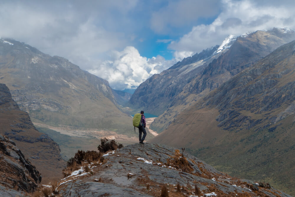
You can reverse the directions I suggested above if you wish. Many people do. There are pros and cons:
I had heard that starting in Cashapampa and finishing in Vaqueria was the less popular option but I don’t think that’s really true. I might have even met more people going that route.
You also have two additional uphills in the lower elevations where it’s hotter if you begin in Cashapampa, which are downhills instead if you begin in Vaqueria. Some people have said the trail is more beautiful if you begin in Cashapampa because you are hiking towards the mountains, but if you can turn your head, you get the best of both worlds.
If I had it to do over again I’d still begin in Vaqueria.
7) How difficult is the Santa Cruz trek, really?
Difficulty is hard to measure, because it’s subjective, however I feel this hike would be moderately easy at sea level, and moderate at altitude with weight. That said, multiple accounts I read online rated it as moderate to difficult.
The trail is nowhere near the steepest I’ve experienced. If you’ve hiked in Patagonia, it’s much less steep than Fitz Roy and overall, easier than Torres del Paine, however both of those are low-elevation hikes, and altitude is a major factor.
If you’re properly acclimated and you hike often, this should be fine for you. If not, it will be challenging.
8) There are many animals
I never realized what goofy animals cows are until I encountered them on trails, I also never realized how deeply they love salty things and how willing they are to eat absolutely anything. This includes shoes, the little baggies your tent stakes come in, and seriously everything else.
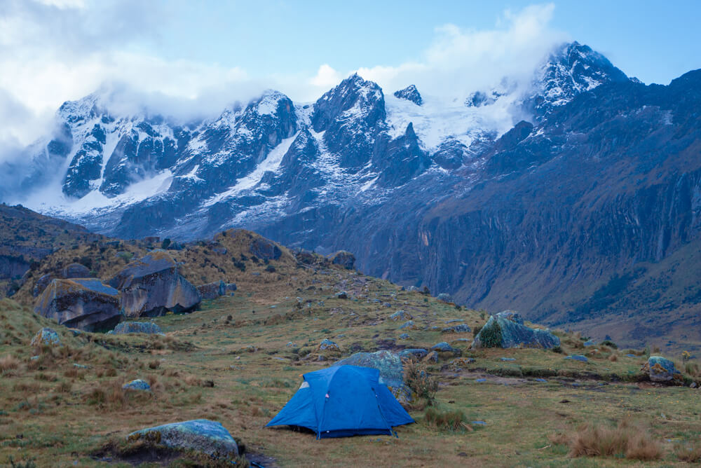
I slept with everything in my tent, including my backpack, my shoes, and definitely my food. Had I realized how tight it would’ve been, I would have brought a two-man tent like the one pictured above, however I had a one person tent and it was cramped in there!
Unfortunately putting your shoes or your backpack or anything under the rain fly and not zipped up in your tent is a bad idea. It would not be much fun to wake up and find your shoes are missing or you don’t have food anymore!
9) When to go and weather
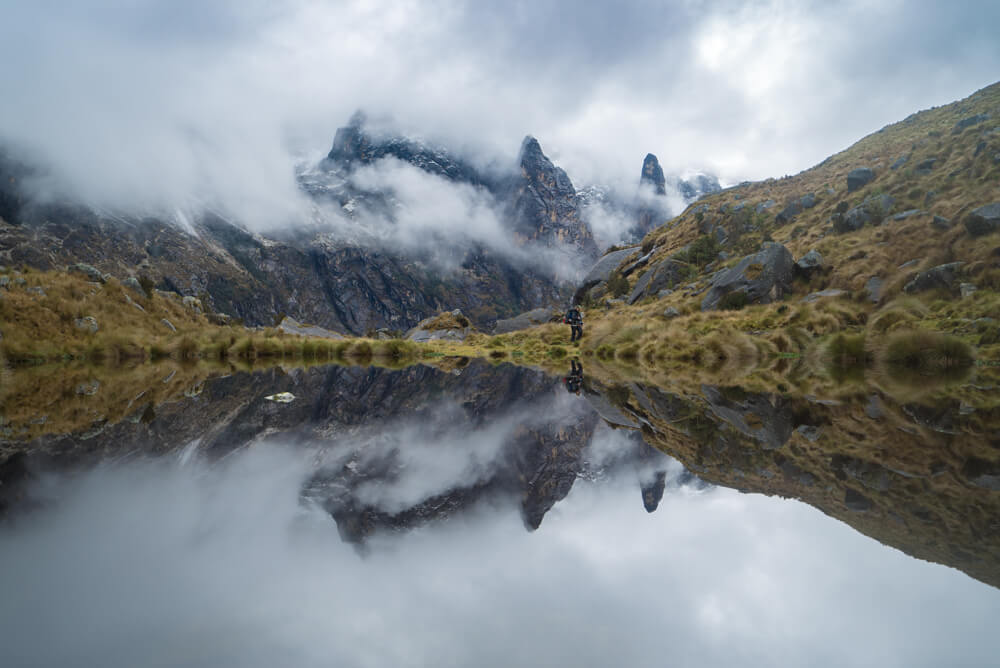
Trekking season begins in May and finishes in October. Otherwise it’s the rainy season, which means snowy season in the mountains. I began my hike on May 5 and encountered snow at Punta Union, and a very wet and muddy trail. For most of it, water was running all down and through the trail itself. It was unavoidable. If you didn’t have waterproof hiking boots on, you were pretty much guaranteed to have wet feet. However I did, so I was happy.
All that said, I think it was the perfect timing because there were few others on the trail. For the whole first day, I was almost entirely by myself. By stumbling upon several better selections campsite-wise, most nights I didn’t have to share my campsite either.
Does this mean that if you go at the very beginning of the season that you will be all alone? I met a few other hikers who were also doing it independently and we joined forces. Generally you won’t be alone out there because this is a very popular trek, which is why I had the confidence to go solo.
I’m sure the weather is much nicer in July, I am also sure that there are hundreds of people on the trail.
10) Photography
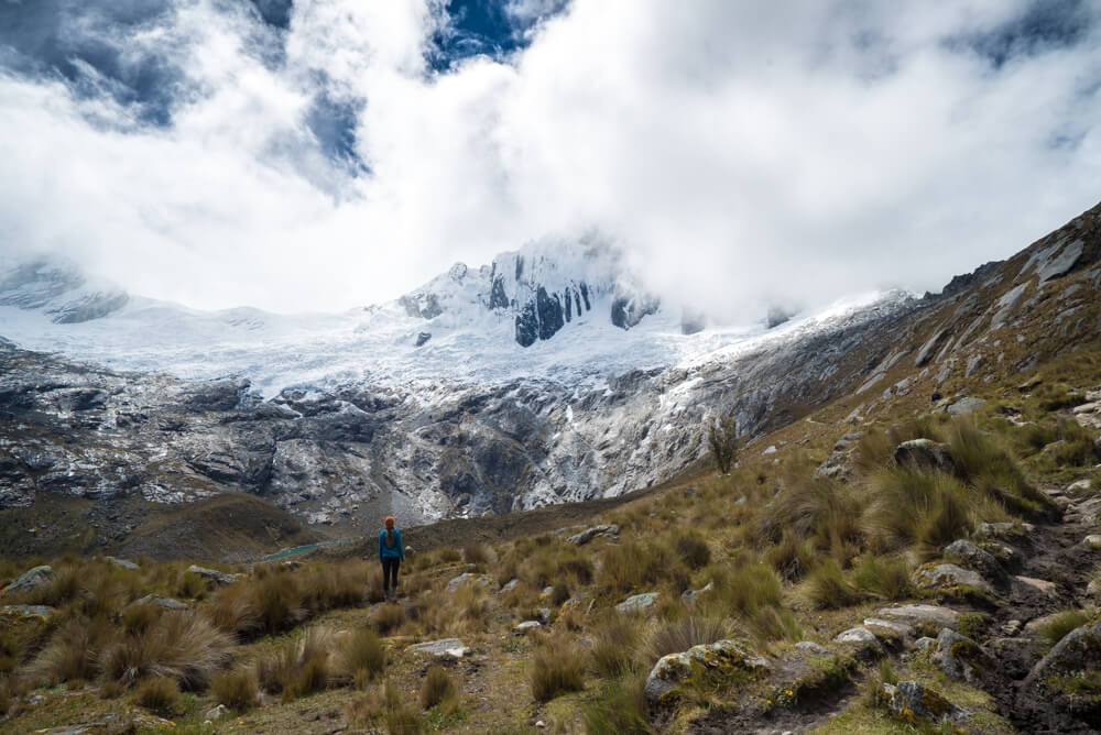
I’m a photography buff, which means a lot more weight on my back, but I can’t imagine going without taking tons of photos and video! It would pain me. So if you’re like me, I suggest the following:
- Camera (here’s a guide for what I use)
- Solar charger – this is super useful since batteries do weird things like drain super quickly at altitude.
- Lightweight tripod (I know, I’m kind of crazy but how else will I take good selfies?)
Nearly 3000 words later, that’s everything I learned while solo and independently hiking the Santa Cruz trek in the Cordillera Blanca mountains in Peru’s Huascaran National Park. I’d been told it was one of the most beautiful trails in the world and, though it has some really tough competition in my book, it was one of the nicest trails I’ve done. I highly recommend it both for the challenge of hiking at altitude and for the gorgeous views and laguna after stunning laguna.
I learned about so many more lakes and trails while I was there, so watch this space, because I’ll be going back!
Happy hiking! I hope this helps you to plan an epic Santa Cruz adventure.

GG says
Hey Kristin: You clearly have put so much work into this post and it shows. So detailed and complete. This whole thing sounds very involved and some smart dealing with transportation so thanks for the details.I think this trek is so cool for the reasons you stated plus:
1. How often can you experience snow near the equator, in May no less!!!??? (okay it is 9 degrees S, but close enough!)
2. While the weather affected views and it was muddy, I think it was really neat to see you cross the rain/snow line. It was also cool how it was raining where you are at one point and look up and literally see where the snow begins! These abrupt changes are fascinating (including when you go past the tree line).
In addition, I love how you mention the “Leave No Trace” principle and program, so respectful! It is so important that everyone do this. I encourage everyone to watch the video here, she adds a great personal touch on it! Thanks goodness that snowy drive on the edge went okay! You are brave!
Kristin says
I wasn’t even thinking about how close we were to the equator. Makes sense that at sea level around Lima it’s a sandy desert!
Leave no trace is SUPER important to me. I see a lot of people washing dishes directly in rivers or leaving behind TP and I think they just don’t realize it’s a no-no.
If you’re REALLY going for leave no trace you drink the grey water too, so since I don’t do that I’ll step off my high horse now.
GG says
No worries Kristin! If everyone does a little to keep the environment clean it would make a world of difference and you already do a lot! You are a good role model in this and so glad it is important to you. BTW to dispose of your grey water if you have a strainer you definitely don’t have to drink it to follow Leave No Trace (and even if you don’t have a strainer there are some options, although you could if you wanted to if there is no soap in it)! 🙂 Maybe one day you can do a post focusing specifically on environmental stewardship when traveling…limiting your carbon footprint if you haven’t already done so (or have it in your books)!
Ijana Loss says
I love all your DIY hiking guides!! This sounds amazing, beautiful, every superlative in the book. I agree 100% I would never want to do a hike like this with a tour group if the possibility exists to do it independently. Imagine having to share that beauty and peace with dozens of other people. Thank you so much for this and the Laguna 69 guide and literally everything you’ve written about Peru; Peru has gone way up my destinations list!
Kristin says
Yay glad you liked what you read! I tend to really like hiking independently too. However on the Inca Trail I have to admit having a luxurious tent that was set up for me and having all the cooking done for me too was awesome.
Yanqin says
Oh man, it looked really wet up there at Punta Union – I would have been miserable trudging up with a heavy pack like yours.
Your guide is spot on and brings back such great memories of being there. I considered hiking solo but chickened out and joined a group instead because I’ve never camped solo (always with a friend who knew what he/she was doing). It wasn’t as tough as I expected and I wished I did it independently after all. After reading your guide I’m convinced I need to get my shit together and just go on a camping and hiking trip solo soon.
Random question: what daypack were you using for your Laguna 69 hike?
Kristin says
Next time you go with a friend, be the one who sets up the tent and the stove and let them correct you if you get something wrong so that you’ll feel empowered enough to do it solo. I had to learn from someone else too, which was a beautiful thing!
For Laguna 69 I had a waterproof Kathmandu backpack a friend gifted me 🙂
yanqin says
Thanks for the tip 🙂 And shall check out Kathmandu…
Dominique | dominiquetravels.com says
What a great post! I don’t see myself ever tackling a hike like this – well.. maybe I shouldn’t say never but I don’t see it happening anytime soon – but I still enjoy reading about it 🙂
Hendrikje says
Thanks for all the information, it’s so useful! I’m going to Peru in september and would love to do the Santa Cruz trek independently. The thing is.. I’m not that experienced when it comes to solo camping/trekking. What would you suggest?
Kristin says
If you’ve backpacked before several times and completely know what you’re doing, and you feel totally comfortable going it alone, then it’s something to consider. However the tours really aren’t that expensive and they take care of everything for you. It’s hard for me to tell you it’s a good or bad idea but I think you should at least have trekked and camped several times and know how to navigate before attempting it solo. Solo trekking has a lot more dangers associated with it for sure, and you want to be safe and happy!
Jonatas says
Hey Kristin, i’ve just got back from this hike. Thank you for the this article. I could see how much effort was spent on.
Your tips and advices were precious and made my hike 10 times better.
God bless you.
Kristin says
Yay that makes me so happy!
Josef says
Hi Kristin,
I’m thinking about doing this hike solo so this article is very informative and I’m happy i’ve read it. But i’m new with backpacking so a little scared to get lost. I’ve downloaded the app maps.me and downloaded peru but can’t seem to find the trail nor find campsites in this region. Am i doing something wrong or missing something? Also, where did you get your peruvian sol?
Kristin says
I was able to find the entire route but had to zoom in to see the campsites. It took me a little time before I found it too. Input the pass and work backwards from there. I obtain Sol through the ATMs.
If you’re feeling unsure the tours are not expensive at all, and it might be a good idea to join one!
andy says
thank you!
very inspiring AND useful!
i’ll start the trek tomorrow..
andy
Kristin says
Sweet have fun!
Slavo says
Hi Kristin,
I just read online “According to Huascaran National Park’s latest regulations, some trekking circuits, the Santa Cruz trek route in particular, are no longer open to independent travelers and can be done only through a tour operator or travel agency accredited by Huascaran National Park.”
After further research I’ve found similar references in web forums from up to 8 years ago. Though this info might be entirely made up by those involved in guiding business in Huascaran. I’ve reached out to some contacts listed on official national park website but haven’t heard back from anyone yet.
Wondering if you encountered anyone saying you can’t go on your own. You mentioned in your post that bought the park ticket at the entry so assuming they would probably mentioned something if there was such a regulation. Which year did you go there?
Thanks!
Kristin says
Hm, where did you read that? Was it on an official park website? This is totally new info to me. Nobody at the park HQ tried to discourage me from going solo nor did the rangers I met along the way. This was in May of 2018, not even a year ago.
Slavo says
That’s good know. Thanks for sharing.
Di Roser says
Hi Kristin
We are doing this hike mid August after doing Salkantay Trek. We are experienced hikers and we’re going to do it in 2 days 1 night. We were going to stay closer to the start and leave earlier. Do you think this is possible? How many k’s did you do each day? That’s what is always left out when I’m reading things. I did enjoy your read, very helpful and I feel even more comfortable with the shorter hike.
Di
Kristin says
I’ve gotta advise you against that. It’s a 50km trek but remember you’re at super high altitude so it’s much tougher and it’s steep in parts. If you manage it in 2 days great but at least allow yourself the possibility of longer. I’m a pretty fit and experienced hiker too and the shortest I could’ve done would be 2d/3n. You’d probably have to skip the glacier lake and never stop for photos. Give it more time and enjoy it!
Maarten says
Hi Kristin,
This august i’m planning to do the hike. Still doubting on doing it alone or not.
Do you have an indication on the price of the gear and wear to buy/rent it. (tent, trekking poles, sleepingmat, cooking gear)
Do you know if guided tours include this?
Last question: where was the best place to book your tour?
Thanks in advance, your guide is great btw!
regards,
Maarten
Kristin says
Hi Maarten, you could ask at Trekandes, otherwise I would just ask many places and go with the lowest quote. Since I didn’t take a tour I didn’t really get the info on that, but they are more or less the same. They would provide the gear if you were to go with a guided tour, so if you really need to rent everything, it honestly might be cheaper to do a tour.
Paulo says
Hi Kristin!!!! Congratulations!! Great Website! I am planning to do the Santa Cruz trek and I wonder if you know if nowadays a guide is mandatory to do the trek (there is a lot of contradicting information). In some forums they say that they won´t sale you a ticket in Huaraz unless you are going with a guide, but that they will sell you the ticket at the park entrance. I am a little worry to get to the park entrance with my backpack and not be allowed to get into the park without a guide. Do you have any information? If a guide is mandatory I rather go trekking somewhere else.
Thanks!
Kristin says
I didn’t even know that you could buy a ticket in Huaraz and nobody told me I had to have a guide. Have you been to Quechandes? That’s where I got my . map and I liked the woman there for suggestions. She didn’t even try to upsell me on a tour.
Ann says
Hi there
Do you know if there is WiFi or reception along the trek
Kristin says
There is no reception and no buildings or lodges for WiFi. It’s all camping.