When I googled Kyrgysztan I couldn’t believe the photos I saw.
That looks like Patagonia, I thought to myself. I had to go and check it out for myself.
After some discussion with a guide and fellow trekking enthusiast, I chose a trail that starts off remote, then leads to one of the region’s most famous (and beautiful) lakes, and back out through a national park. It’s the 8-day trek that was titled Tyrgen-Ak-Suu-Arashan-Alakyl-Karakol-Telety-Jeti-Oguz on the itinerary (that’s a mouth full).
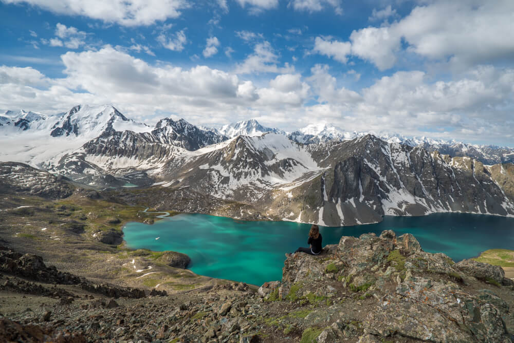
This particular trek begins and ends in Karakol, which is about 5 hours away from the capitol of Bishkek by car.
We hiked 130 km (81 miles) through the Tian Shan Mountain range, over six passes totaling an elevation gain of about 7,500 meters (about 25,000 feet) up and down, with a few relentlessly steep slopes. Some days are a physical challenge and others are shorter and flatter, but all are stunning.
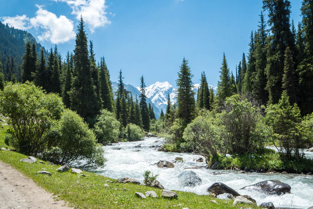
It’s a varied trek, passing through green valley after green valley, with rivers, lakes, sometimes snow, and an ever-present blanket of wild flowers. I would absolutely recommend it.
Here’s the itinerary:
Day one: Turgen-Aksu valley and Bozuchuk pass – 12 km (Sleeping elevation: 2950m)
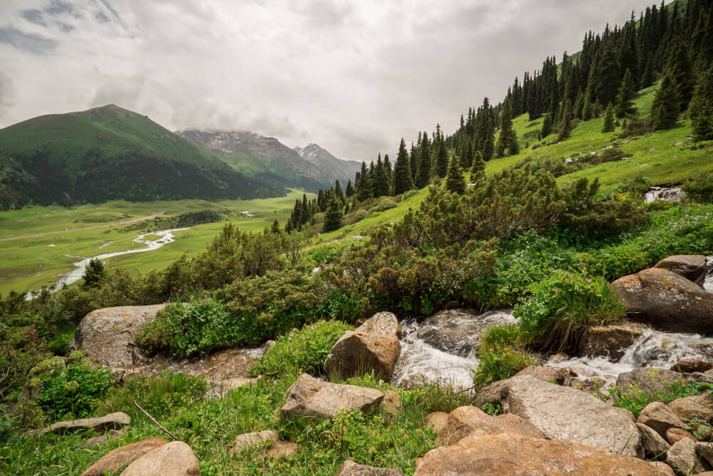
It was a small group of my guide, Bahram, a porter, Roma, and I on this trek. Things got off to an interesting start when our first bridge was totally covered in water. The river was too powerful to ford so we did what any Oregon Trail enthusiast would do: hire a local to help us across.
You can watch that plus some awesome drone footage here:
First he took the bags and then us, one by one. The water lapping at my knees, I kissed my dry feet goodbye and embraced the adventure ahead.
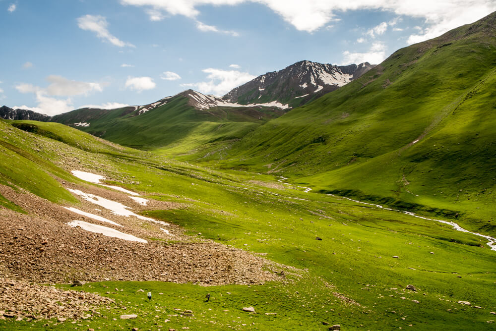
The first day was pretty easy, hiking from one valley over a mountain to the next where we camped for the night.
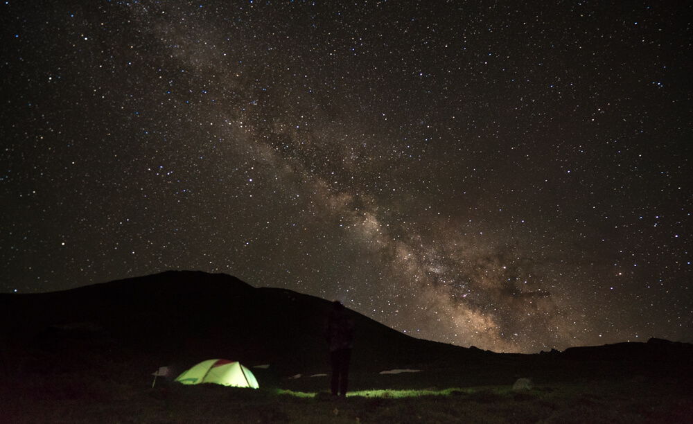
I didn’t get much sleep that night. I blame this dazzling night sky.
Day two: Summit two passes, finishing with Ailanysh pass descending into Almalu Valley – 16 km (Sleeping elevation 2650m)
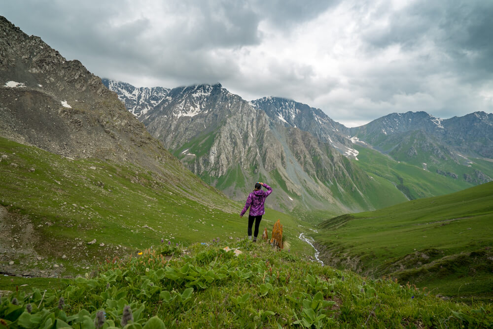
Day two was, admittedly, a tough one. It began with a 1300 meter climb over the first summit, which was unfortunately so clouded in that there was no reward, no view, for the work. I could tell through the sporadic breaks in the fog that it would be amazing if we could see, though.
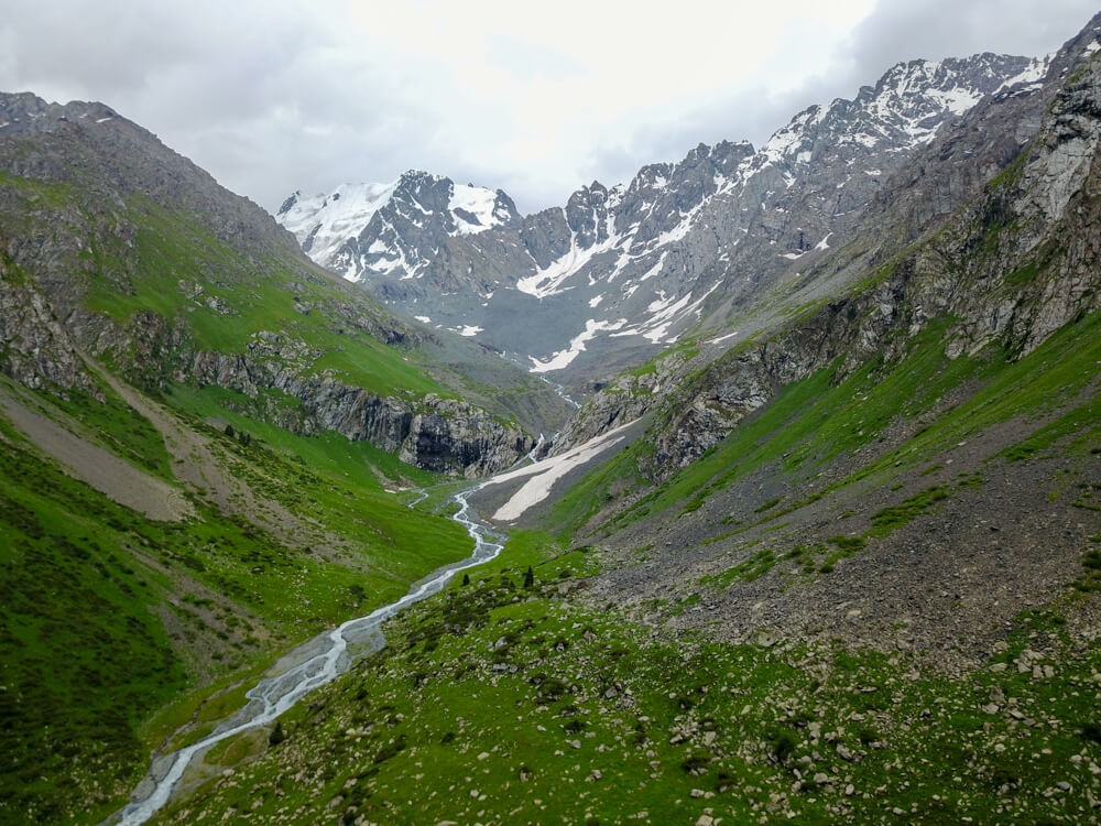
Next it was a steep descent into the valley where we had to cross the river in one point up to my shins. I had to think happy thoughts to stay positive and warm, but then just before the next summit this showed up you guys:
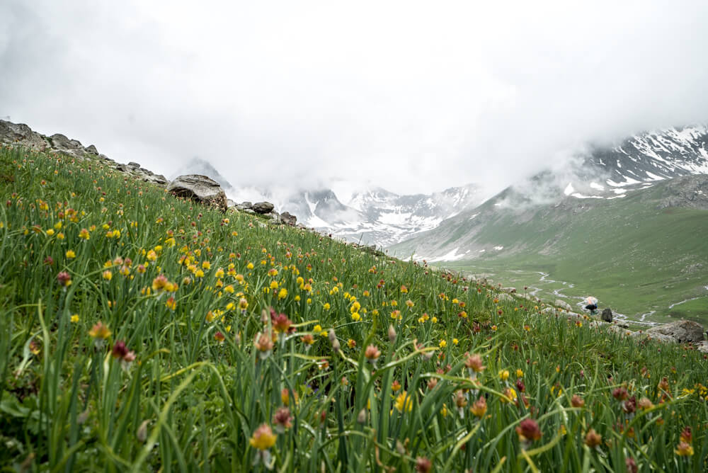
And then this:
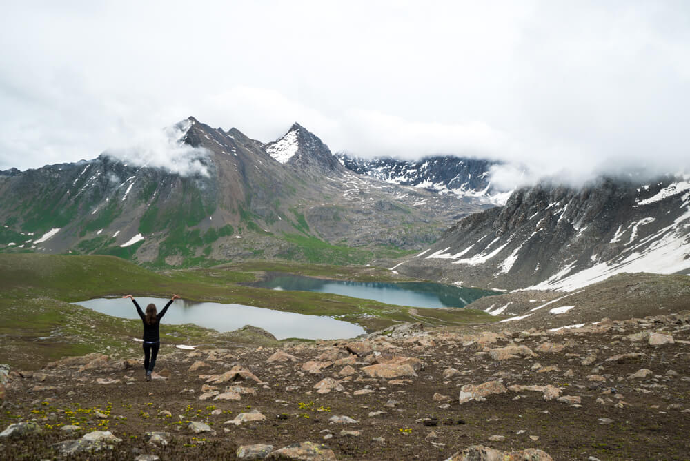
Perfection in every direction!
Additionally, we didn’t see another person all day. Not even a local on horseback. Nada.
I love it when that happens.
Day three: Summit Almalu pass (3650m) and descend to Altyn-Arashan hot springs -14km (Sleeping elevation: 2500m)
After a rainy night I woke up to see that the mountaintops had been dusted with snow. On June 29.
Still, what a beautiful sight!
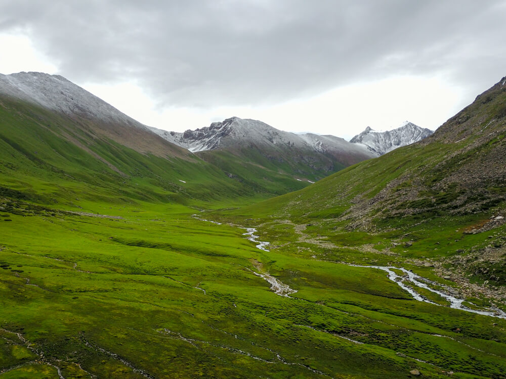
This was a tough ascent. First we made our way down about 500 meters to an idyllic valley with horses grazing and little waterfalls from the snowmelt in the distance. I saw Bahram cross a bridge and start up a mountain slope.
Please let’s not be climbing THIS mountain, I thought to myself.
But we were. Oh god, we were.
It was steep the entire way. My foot bent at a 45 degree angle to match the slope, we climbed for hours. I false peaked over and over until we finally reached the top, about 1700 meters later.
‘This is medium difficulty, Kristin’ Bahram chided with 50 kilos strapped to his back.
“What’s high difficulty then?” I wondered.
“Climbing, sleeping on, and doing 11 days on a glacier” he replied. Fair enough.
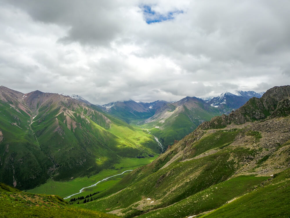
Once we did finally reach the top, climbing the last bit through snow, again I was in awe of the panorama surrounding me.
It’s that sense of accommodation and the endorphin rush we hikers love, isn’t it? Well that, and the chiseled calf muscles.
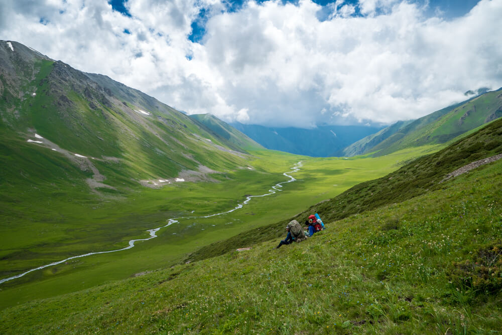
The day finished at a hot spring, in a more developed little camp with a few other tourists around. It would be the first time we’d camp near anyone else. It would also be a warm and toasty night thanks to the hot springs, my one and only bath all week.
Day 4: Hike to the baseline of Ala-Kul pass (3860m) – 14km (Sleeping elevation: 3300m)
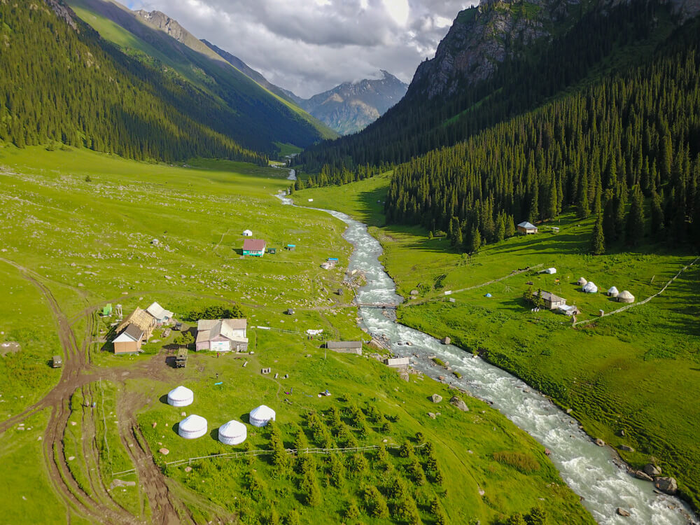
Day four brought a bit of welcome relief with a more gradual climb up from the camp. For the first day we did just 4 hours of hiking, with no passes, and no downhills.
It was also the first time I saw a real trail, and other hikers on it. It made me miss the tranquility and backcountry feel of the first few days, though on the other hand, I had plenty of conversations on the way which I always love.
We camped at the base of the pass leading to Alakol Lake, the fixture that makes this trek popular. We were the only ones to camp at the base of the summit rather than going down to the lake, but we’d had such an intense few days we took it a little easier. The glacier views from camp didn’t hurt, either.
Day 5: Summit Ala-Kul pass (3860m) and descend to Sirota campsite -15km (Sleeping elevation: 2700m)
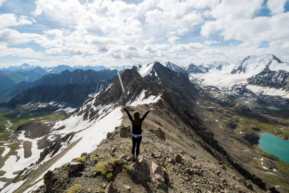
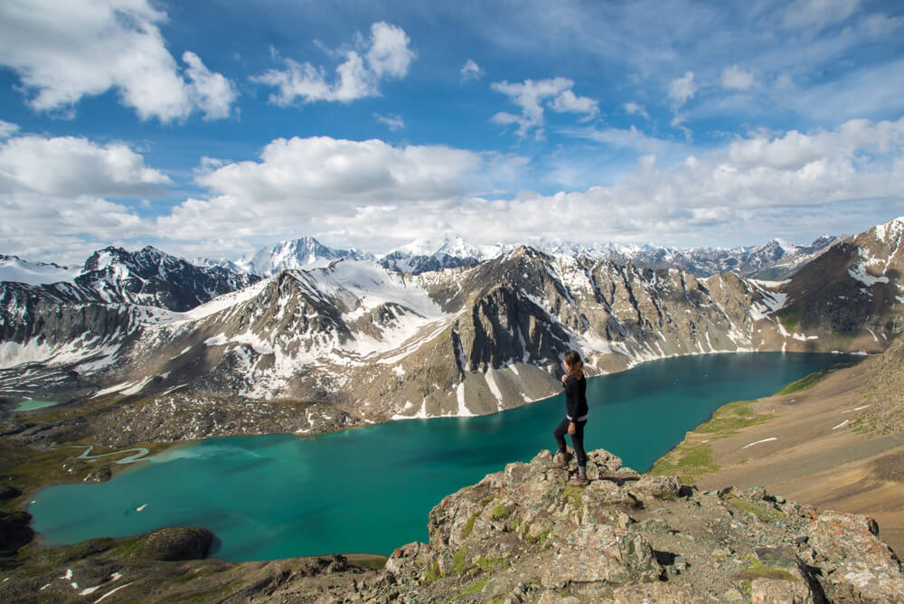
This was the day I’d see a view that almost brought me to my knees crying in awe.
We had to earn it, though.
The hour-long climb to the pass was steeper than anything I’ve hiked before, requiring scrambling hand and foot in the rock and snow, sometimes sliding backwards.
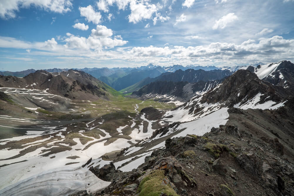
It made what we reached the top even sweeter. It was a triple threat of glaciers, layers of mountains the color of dark chocolate, and a glowing blue lake.
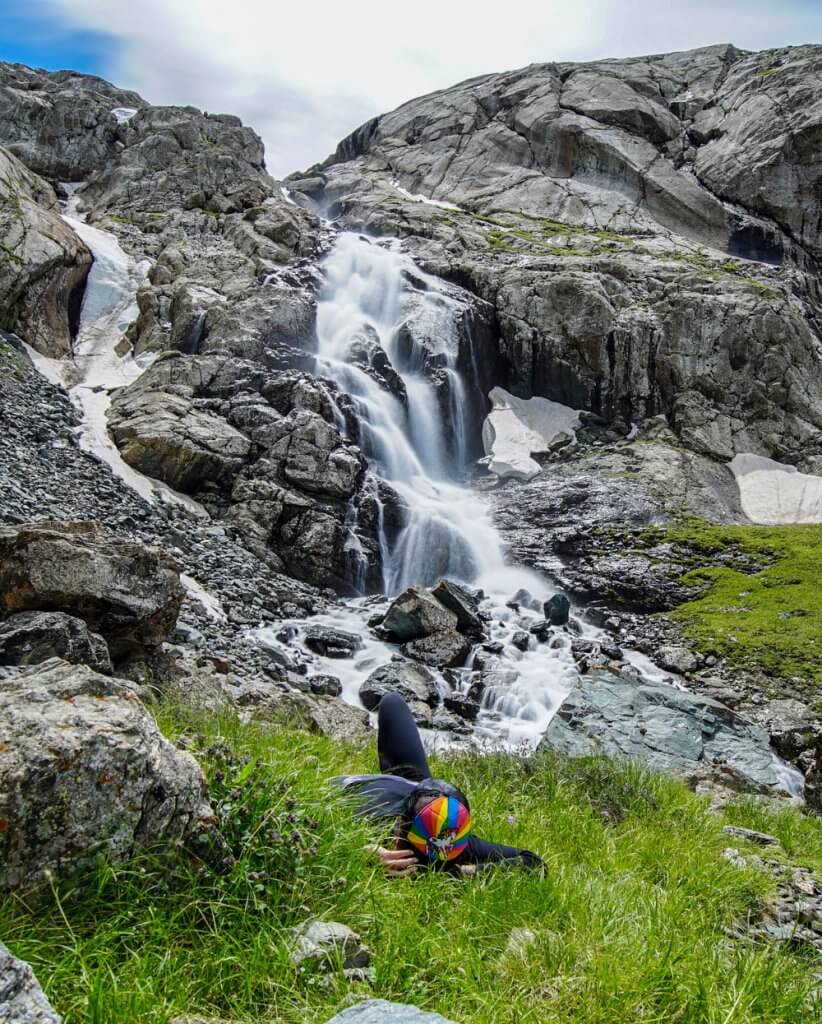
The climb down was a rocky and steep one, with a waterfall partway down.
Your day can end in the forest camp, and while at first I wondered why we ended the day so early, once I sat at the (month-old at the time of this writing) bar and chatted with the guys working there I realized it would be a social evening. I highly suggest camping there or at least ordering a beer and hanging out before moving on. The vibe is on point.
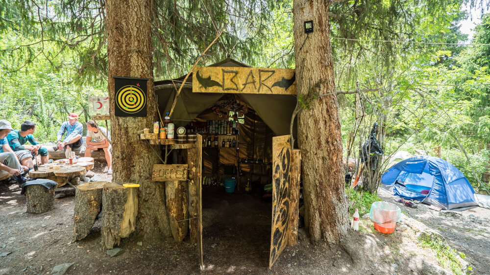
Day six: Hike through Karakol valley to Telity – 6km (Sleeping elevation: 2450m).
This was mostly an easy day, beginning with a walk through the forest blanketed with wildflowers in every color imaginable. Then it flattened out for a few kilometers before turning steep again for about an hour and a half after leaving Karakol national park.
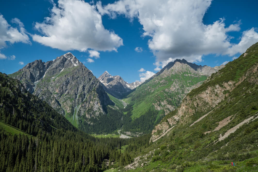
This was the first hot day of the trek, so it was nice to take it easy, especially after the particularly steep up and down the day before.
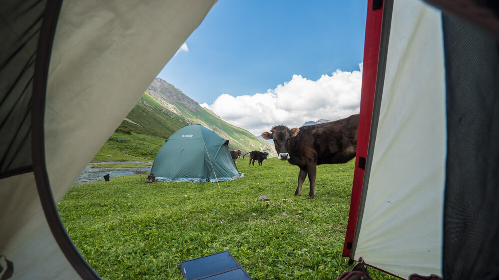
I have to laugh as I write this to you, laying in the tent while a cow breathes heavily and sniffs around my tent. They keep licking the outside of the tent and tripping over the stakes.
This could be your life too while trekking in Kyrgyzstan. I’ll never see cows the same way again.
Day Seven: Summit Telity pass (3820m) and descend to Telity valley – 16km (Sleeping elevation: 2900m)
Day seven was a snowy one, beginning with a barefoot walk through a frigid river. I bid the cows goodbye and made my way for the top. Partway up, Bahram started putting covers on the bottom of his pants for snow. Foreshadowing.
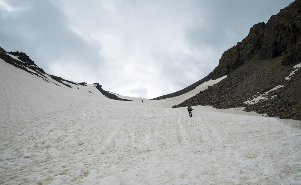
There had been snow on the trail previously, but not as much as there was on this, the final pass.
It was cold, but I also found it to be fun. I love snow.
The descent down viscerally reminded me of Switzerland. It was somewhat steep but doable, and gorgeous.
That night would be the last, in a lovely valley with a view of a glacier and beautiful flowers.
Day Eight: Hike to Jeti-Oguz valley and out to the road – 15km
The final day of the trek was almost completely flat, which was so very nice after the previous steep days.
It felt long but it was through a lovely valley.
Towards the end you’ll notice a lot more roads and the occasional car. The very end is actually a pretty touristy spot, but it’s also where you can arrange to get picked up.
Overall, this was one of the tougher treks I’ve done but also one of the most rewarding. The landscape was phenomenal but the ups were often incredibly steep as were the downs. Half of the days were strenuous and the other were closer to medium or even easy.
Keep in mind that the overall gain and loss in altitude is over 7k meters, as there are six passes in total. For perspective, Everest is 8.9k meters.
I’d still recommend this to anyone who wants to get a real flavor for the beauty in this area, has the time and the interest, and who loves being in nature. Even the ‘busy’ parts of this trail weren’t very busy, and some had nobody on them at all.
I’m glad to have found this place. It opened up a new mountain range of possibilities to me.
(For my trekking guides, contact Jyrgalan Destination).
*This trip was made possible by Visit Kyrgyzstan and the support of the American people through the United States Agency for International Development (USAID). The contents are my sole responsibility and do not necessarily reflect the views of USAID or the United States Government.
Ijana Loss says
Yes, I was so excited for your Kyrgyzstan coverage to start!!! This looks amazing! I’ve been wanting to plan a trip there forever! I’m in Germany right now and really wanted to fit it in during my year here, but I don’t think I’ll be able to :'( But next time!
Kristin says
At least you’re closer now 🙂
Henry says
What a spectacular area! I see this whole part of Asia becoming the “hot” destination of the late 2010s, in the same way that the Baltics were in the late 2000s. Thanks for sharing.
Kristin says
It’s been hot for a while! At least for me, but I just love it over there and all of the varied cultures.
Christina says
Well this country just jumped to the top of my list 🙂 That scenery is incredible!!
Joan Torres says
WOW! This was an amazing trek as well! Did you see many other tourists/trekkers? I was a little bit concerned about this so that’s why I decided to skip it and do the Archa Tör Pass (4,000 meters) trek. It was a 4-day day trek and, like yours, it was also amazing and, the best part of it is that we didn’t see absolutely any other trekker. I think we were there at the same time, cause I did it during the last week of June. I am actually writing about it now and I believe will post the complete itinerary in a few days. Salut Kristin!
Kristin says
I did see other trekkers, but usually just a few and in most cases I like it when it’s one or two and you see them again and again. It makes it more social. However the first three days were totally raw and wild and there was nobody around at all but the occasional guy on horseback. That was very cool. It was a nix mix.
margot says
Super inspirational Kristin! I’m trying to get my people on board, this trek is right up my alley. Thanks for the gorgeous photos and post.
Kristin says
Awesome! You might be able to find a group to join there, too 🙂
kristy says
What airport is best to fly to to get here!??!
Kristin says
The capital: Bishkek
Ashley says
This scenery looks INCREDIBLE. I want to go to Kyrgyzstan like now. I watched your video and was laughing out loud when the cows were licking your tent, by the way haha
Kristin says
It was pretty funny in hindsight.
Jose says
OMG
AMAZING Kirguistán.
Do you think is doable to do this trekking in the second or third week of june?
Thanks
Kristin says
That’s when I went, but some passes might be snowed in.
May Lee says
Hi, looks amazing!!! Are there shorter options for those of us who don’t have mountain-goat heritage 🙂 like a 4 or 5 day option? Which section would you recommend? And what were the sleeping arrangements like on the trail – purely camping or were there also huts/villages to stay in?
Kristin says
Sure you can shorten this to just three days if you want to see the lake. There are yurt camps as well, but not on the lake. I slept in a tent each night.
Alexandra says
Hi, I see that you did it through ecotrek. Which Trek did you chose and how much did it cost? Thanks!
Kristin says
It’s named in the intro and it would run €1400 pp unless you’re solo in which case it’s a bit more. I’d ask if you can join another trek of theirs to make it cheaper. You can mention this post and ask them what they can do for you.
Mao says
Wow this is so pretty and such off the beaten path. Thanks for sharing, definitely adding this to my bucket list!
Gillian Groom says
Thanks so much- such a great resource and inspiration for my trip next year (that is very much in the planning stages). I watched your youtube videos and you made one comment that the guides could have been a little more professional- what could have been more polished? Also I’m likely to solo it (possibly with 1 friend), I’m 53 and fit with lots of trekking experience under my belt now, do you think the dynamic with your guide/porter would work well (difficult Q I know).
Anyway- thanks- I really enjoy your posts.
Gill
Kristin says
One made a stupid, ignorant drunken comment that he wouldn’t apologize for and I didn’t find it very progressive. I also understand and acknowledge that he’s from another part of the world than I am and was educated differently. The service provided was still good so I didn’t drag him through the mud here for it. I think if you go and find a guide in person who you feel good about, then you’ll be able to suss out the dynamic before you commit, and that could be a good way to avoid any issues, assuming you have the time to do so.
Gillian Groom says
Thanks for that Kristin
Aibek says
Hi, Kristin! I was looking for high quality photos about our country, Kyrgyz Republic, but unfortunately on web generally all photos are poor in quality. I have seen your photos about Kyrgyzstan and I wanted to ask you it is possible to recieve one of your photo about Kyrgyzstan in high quality? I waold be very grateful, Thank you
Kristin says
Depends on what it’s for! I am happy to discuss selling it to you if you’d like. I make part of my living as a photographer so I hope it’s understandable.
Aibek says
Thank you very much, your photo will be as a background to my presentation of Kyrgyz Republic. I’ve sent to you my email via facebook. Thank you to understanding
Cornelie says
Hello Kristin,
thanks for all the information you’re providing here! We are planning our trip to Kyrgyzstan and would like to do the same trek as you. Did you need a permit to enter the mountains? I heard that you have to buy a permit to enter zones close to the border (“pagranzona”) but I’m not sure if it applies to the trek you did. Thank you 🙂
Kristin says
Not for this trek but for some closer to jyargalan you do need one, yes.
Kat says
Hi Kristin, we are heading to Kyrgystan in July and I as wondering if you needed to get any permits for your hike (we are doing it solo) and if you were concerned about bears?
also, can you recommend any good day hikes around Karakol to acclimatise?
Many thanks!
Kristin says
Hi Kat, permits aren’t needed for this region, at least when I went (check into the rules though). I didn’t even know bears were a factor! I didn’t do any day hikes to acclimatize personally.
Diana says
Hi Kristin,
thank you so much for sharing this!
I’m going July/2018 and will be trekking alone. I would love to know about the sleeping arrangements. What temperatures at night, what sleeping bag rating (comfort T.), what mat you’ve used… it’s to help with my packing. I don’t want to feel cold at night in my tent, but I also don’t want to overpack, since I’ll be caring all of my gear. Thank you for any practical info you can give!
Happy travels!
Regards,
Diana
Kristin says
Hi Diana, you’ll want to be prepared for the possibility of snow and cold rain, even in July. I didn’t use my own stuff since I had a guide and porters and we used theirs, but I’d say at least rated 0C comfort.
Diana says
Thank you for the info, Kristin!
Do you have a gpx file for this trek?
Happy hiking!
Kristin says
I don’t. You can definitely buy a map though.
Himalayan Addict says
Awesome, epic, hike ! Really loved your YouTube video reports (1 & 2). I first found them a month ago and have just rewatched because I arrive in Karakol on the 2nd July for a one month stay and just can’t wait to begin !
I have my two Sonys (noticed you are using Sony too), the drone, the gimbal and have taken many tips from the way you have constructed your excellent videos. I’ve hiked many places in the Himalayas but watching your videos has really got me excited for this trip! Thanks for the inspiration.
Cheers !
Kevin
Kristin says
Have fun! It’s such a photogenic place.
Kingshuk says
This is a beautiful post and one I have been searching for quite some time now.
The hike looks absolutely stunning and straight out of postcards. Kyrgyzstan is pretty high up there in my bucket list already and your blog just made me check the air prices for next year :D. Could you tell where and how to contact the porters and guides. Did you arrange beforehand or on arrival?
PS – The landscape looks a lot like the Kashmir Great Lakes and Tarsar Marsar trek, probably the two prettiest treks in India. Maybe you should check them out too.
Thanks for the inspiration.
Cheers,
Kingshuk
Kristin says
You can definitely arrange once you arrive. Otherwise, I’d contact the tourism board and ask them to help you book.
Larry says
Wow! Great shots – I was just reminiscing about Kyrgyzstan and googled ‘tian shan Kyrgyzstan” and your site came up. We just got back two weeks ago from an 11 day trek to some pretty remote areas. The Inylcheck Valley is one of the most stunningly beautiful valleys I’ve ever seen. It reminded me of Patagonia and Switzerland. Definitely need a guide! We arranged everything months beforehand – our trek required a lot of logistics – horse porters, people porters, private transport, etc. After the trek we got to go to the opening of the 3rd World Nomad Games, which was incredible, plus one day of events. Thanks for posting, I’ll have to check out your site to get some ideas on other treks or travel – I’m going to read your post on South Africa next, then the one on Raja Ampat – my wife and I are going diving there in November!
If it’s not on your list already, check out the GR20 Trek in Corsica. Highly recommended – only met two other hikers from the USA on the whole trek. Fantastic and challenging, plus you can get a cold beer\glass of wine and a hot meal at the end of each day, usually served up by a grumpy Corsican running the ‘huts’. Cheers!
Kristin says
I heard that’s a challenging one. I’m quite intrigued, though!
Val Cheng says
Hi Kristin,
Is it possible to bike this trek with a mountain bike or can it only be done on foot? Awesome and inspiring pics!
Val
Kristin says
Definitely not bikeable. i think by foot only.
Leanne says
Hi Kristin,
I’m going to do my first trek ever this summer with a guide from Destination Jyrgalan. I’m going solo but am a bit nervous about going alone with a male guide and porter. Did you have any concerns before your trek?
Thanks in advance for any advice.
Kristin says
If you’re doing this trek it’s a pretty busy and popular trail, if that assuages the worries at all. I didn’t feel nervous but you have to do what you’re comfortable with! You can ask for the specific name of the company and see what reviews there are online if that would help at all as well.
Robyn says
Hey Leanne. How was your trek with Destination Jyrgalan? Which trek did you do? I’m finding that they aren’t very responsive.
Jyrgalan yrgalan says
Hey Robyn,
Thanks for the question. Did you get an answer?
Carla says
Wow!! This is amazing! I’d have never said that Kyrgyzstan was soo green and amazing! 😳😍 Thank you so much for all the info!!
Kristin says
My pleasure!