Utah is home to some incredible sights, the most notable being its five national parks. “The Big Five” consist of Arches, Canyonlands, Capitol Reef, Bryce Canyon, and Zion National Parks, which are nicknamed for good reason. Millions of visitors come each year to see the parks’ unique natural environments and iconic Southwestern scenery.
And what better way to explore the area than a road trip? Grab your road trip essentials and download some podcasts for the drive, because this is one adventure you’ll want to remember!
Arches National Park
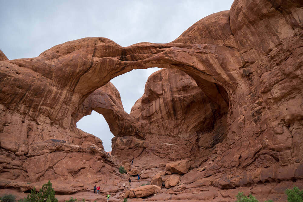
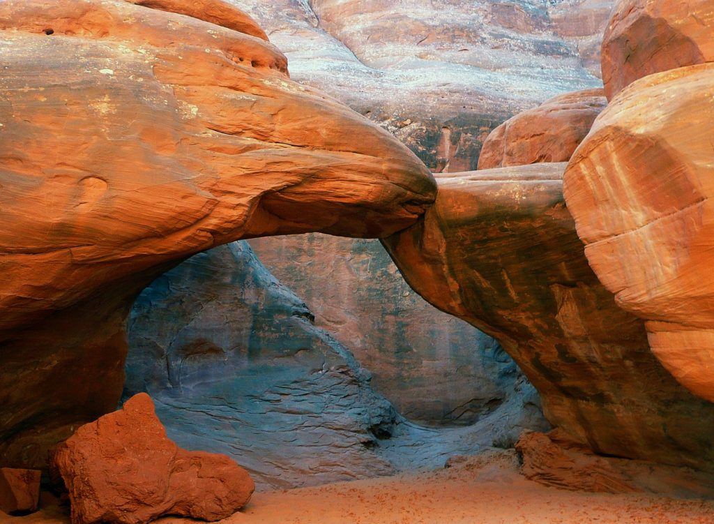
Located four miles north of Moab, Arches National Park is home to over 2,000 natural stone arches. Just over 1.5 million visitors per year see this park’s formations, with the most iconic being Delicate Arch—a landmark so iconic it’s even pictured on Utah license plates! The park’s desert location brings beautiful starry night skies thanks to improving air quality and minimal light pollution.
The Colorado River marks the southern boundary of the park, with Highway 128 on the other side of the river. The park is completely drivable with no park shuttle, so grab a downloadable map of the park before you go!
The nearest airports to Arches are Salt Lake City and Grand Junction across the Colorado state line. If you’re coming from Salt Lake City, drive three and a half hours southeast to the visitor center, located in the southwest corner of the park. From Grand Junction, it’s an hour-and-a-half drive to the park.
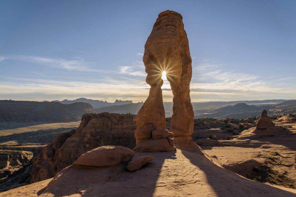
Arches is home to innumerable hikes, all with different sights, topography, and degrees of difficulty. Some of the well-known hikes include Landscape Arch and Fiery Furnace. But the must-do hike in Arches National Park is Delicate Arch, a three-mile round trip of moderate difficulty. After all, you can’t pass up seeing such an iconic Utah sight!
Similarly, Landscape Arch is a landmark worth seeing, as it’s one of the longest arches in the world. To see just the arch, it’s an easy, 1.5-mile trip; however, instead of turning around at Landscape Arch, keep going to follow the Devils Garden Primitive Loop Trail. You’ll see Private Arch, Partition Arch, Navajo Arch, Wall Arch, Double O Arch, and Dark Angel over this five-mile loop.
Meanwhile, the Fiery Furnace hike is perhaps the most adventurous of them all. The journey is maze-like, with sandstone fins and domes everywhere you look. This hike doesn’t have an established trail; therefore, it can be confusing even for experienced hikers. It is recommended not to take on this hike by yourself, but to go with a guided ranger. Either way, a permit is required to visit the area. If you don’t wander too much, this could be a moderate two-mile round trip.
Park Avenue Trail is a great, easy hike for sightseeing. The hike is a two-mile round trip that brings hikers to sights like the Three Gossips, the Courthouse Towers, the Tower of Babel, and the Organ.
If you’re looking for solitude out on the trails, check out the largely unvisited Tower Arch hike. The hike is a moderate, 5.2-mile round trip. If you’re looking to fill a whole day, the Lower Salt Wash Trail winds its way down into the canyon for nearly seven miles. You’ll end up 1,200 feet lower than you started, where water is always running through Lower Salt Wash to meet the Colorado River. This is a moderate 13.5-mile round trip.
One important thing to know about Arches is that arrival time can make or break your experience. The bottom line—get there early or very late. There’s usually traffic congestion at the entrance between the hours of 9am and 12pm, sometimes taking thirty minutes or more to get into the park. Even worse, when the parking lots inside fill up, cars may not be allowed to enter the park for several hours. If you can’t get a parking spot for the trailhead you want to access, cruise the scenic road through the park, circle back, and try again.
A note about the weather: the desert can experience up to 40-degree F temperature swings between day and night. Pack layers and dress accordingly with the time of day during which you’ll be in the park. Desert sun can be notoriously harsh, too, so bring lots of sunscreen and water. Arches even gets some snow in the winter!
There is one campground in the park—Devils Garden—which is open year-round. There are also BLM campgrounds near Big Bend, outside the southeast boundary of the park. If camping isn’t your style, stay in nearby Moab at spots like the Aarchway Inn, La Quinta, or Hotel Moab Downtown.
Canyonlands National Park
Only a half-hour from Arches (about 30 miles southwest) is Canyonlands National Park. Here you’ll find 527 square miles of cliffs, canyons, and other landforms by the Colorado and Green Rivers. The park offers more than 70 miles of hiking, and like nearby Arches, is a fantastic spot for stargazing. Canyonlands sees about 750,000 visitors annually.
The park is divided by the two rivers into three districts: Island in the Sky, The Needles, and The Maze, with Horseshoe Canyon its own remote unit of the park. Island in the Sky is the most accessible region of the park, while The Needles and The Maze are predominantly backcountry. Horseshoe Canyon Unit is separate from the rest of the park. Download a map of the park here!
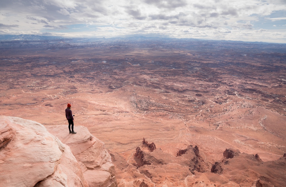
With so many hikes to choose from at Canyonlands, here are some of the best:
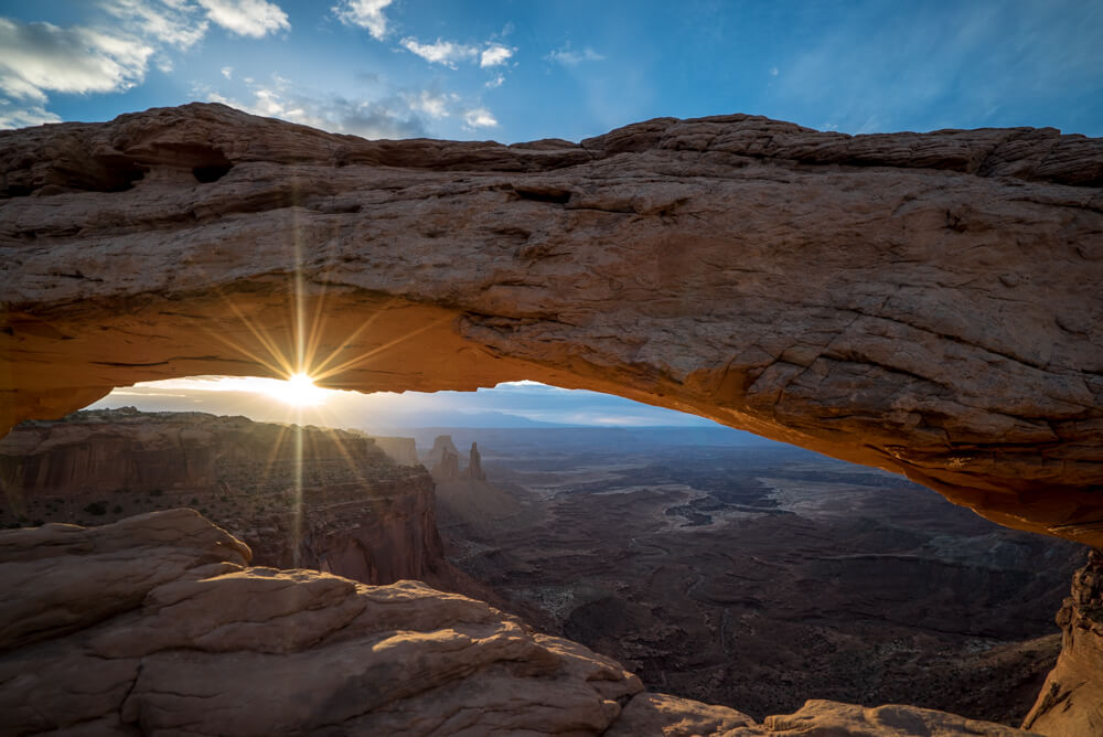
In the Island in the Sky region, the most popular is Mesa Arch, an easy, half-mile trail to an iconic arch on a cliff’s edge. The scenery here is amazing at sunrise, and you’ll definitely want to snap a photo. Another is Grand View Point, an easy two-mile trail that follows the canyon edge. Or, check out Aztec Butte, a moderate, two-mile trail which splits into eastern and western forks. The eastern fork is known to have great views.
If you’re looking for something more challenging, try a full-day hike like Murphy Loop. Though only moderate in difficulty, this trail comes up to just under 11 miles in length! Hiking this trail means spending the day working your way down the side of a mesa top with a 1,400-foot elevation change. Similarly, the Alcove Spring Trail is just over 11 miles in length with moderate difficulty. Over a 1,300-foot elevation change, Alcove Spring winds through a canyon to the base of the photo-worthy Moses and Zeus formation.
Meanwhile, in The Needles region, Druid Arch is a moderate, 10.5-mile hike with the best views in The Needles. The hike follows the Chesler Park Trail until it splits off to travel through Elephant Canyon, which ends at a stretch so steep it requires a ladder!
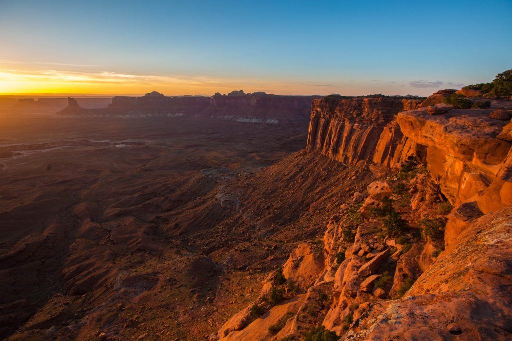
But there is more to do than just hike through the desert at Canyonlands. Those wanting to explore the area by vehicle can drive Shafer Trail, an 18.3-mile-long off-road drive with great views of nearby Dead Horse Point.
Before visiting Canyonlands, know that the park deals with the same degree of traffic congestion as Arches. Get there early or wait until the rush has subsided. The park also experiences the same kind of climate as Arches, with scorching hot summers and equally cold winters characteristic of the high desert. Temperatures can fluctuate dramatically over the course of the day, and seasonal thunderstorms in the summer can cause flash floods. Come prepared and pay attention to the weather.
There are a few options for camping in Canyonlands. Two campgrounds in the park—Island in the Sky (Willow Flat) and The Needles— are both open year-round. Another option is backcountry camping, which requires a permit. If you’d prefer not to camp, stay in Moab at the same place you did for Arches.
Capitol Reef National Park
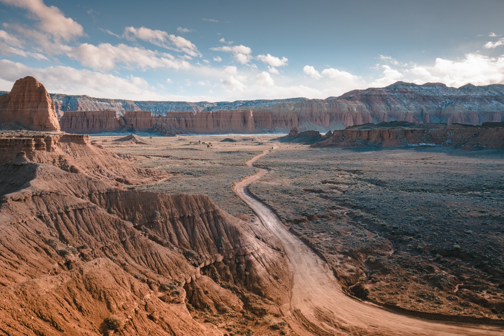
From Canyonlands or Moab, Capitol Reef National Park is two and a half hours away. Although the park sits directly to the west of Canyonlands, the drive is about 160 miles up and around. Capitol Reef is unique in that it is 60 miles long but only six miles wide! Here, you’ll find the Waterpocket Fold, a geologic monocline (A.K.A., a wrinkle in the earth), stretching for nearly 100 miles. Roughly 1.2 million people visit Capitol Reef each year.
The park is divided into three regions: Fruita Historic District, Cathedral Valley, and Waterpocket. Highway 24 runs horizontally through the top segment of the park, while Fishlake National Forest, Dixie National Forest, Grand Staircase-Escalante National Monument, and Glen Canyon National Recreation Area hedge its western side. The Henry Mountains border its eastern region. You can find a downloadable map of the park here.
Much of the hiking in Capitol Reef is centralized in the Fruita region. In fact, 15-day hiking trails branch off of the area’s Scenic Drive and Highway 24. One of the best of these is Sunset Point, an easy, half-mile hike with panoramic views that is—to no surprise—great for sunset.
A moderate hike here is Cohab Canyon, which is about a mile and a half in length and brings hikers to the park’s hidden canyons with panoramic views. Hickman Bridge is a moderate one-mile hike that concludes at a huge natural bridge stretching more than 100 feet. There are also the Waterpocket and Cathedral Valley Districts with trails to explore, plus three slot canyons with unmaintained routes. On a particularly hot day, take on Sulphur Creek, which requires walking through water ranging in depth, or any of the multi-day creek and canyon backpacking routes.
For something more challenging, try Cassidy Arch, a strenuous 1.7 miles of slick rock to a natural arch. The Rim Overlook Trail is also a fairly difficult journey, with two miles worth of Fruita and Waterpocket Fold’s clifftop views.
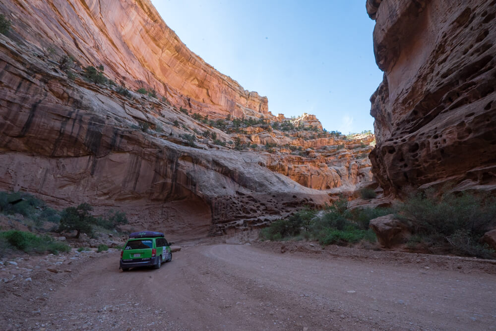
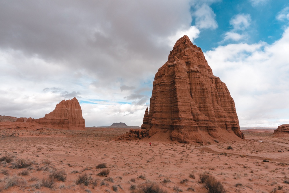
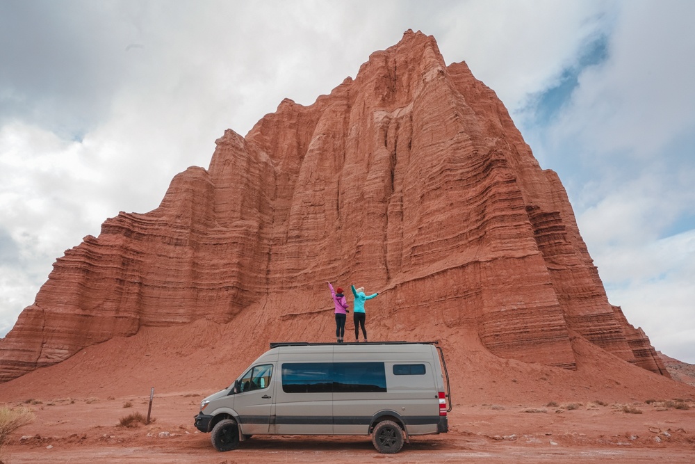
There are also ways to explore Capitol Reef by car. Try the Scenic Drive in the Fruita District for something centrally located. Or, you can take on the Cathedral Valley Driving Loop Tour, a 57.6-mile loop with side hikes along the way. The loop shows you some of the most notable monoliths in the valley, like the picturesque Temples of the Sun and Moon.
Note that Capitol Reef has all four seasons. Summer highs in the 90s give way to summer thunderstorms that can bring flash floods. Winter highs in the 30s and 40s and nighttime lows in the teens and 20s sometimes give the park some snow. Perhaps the best time to visit is autumn, when the woodsy areas alongside the Waterpocket Fold’s Fremont River display fall at its most colorful.
Also keep in mind that the starting elevation for Capitol Reef’s hiking trails is about 5,000 feet, so even easy trails might not feel that easy. Pack lots of water and sunscreen to offset the effects of the altitude and intense sun.
There are three options for camping in Capitol Reef: the developed Fruita Campground (open March through October) plus the year-round primitive campgrounds of Cathedral Valley and Cedar Mesa. Alternatively, you could obtain a permit to backpack in the park overnight. Or, stay in nearby Torrey at either the Red Sands Hotel or The Noor Hotel.
Bryce Canyon National Park
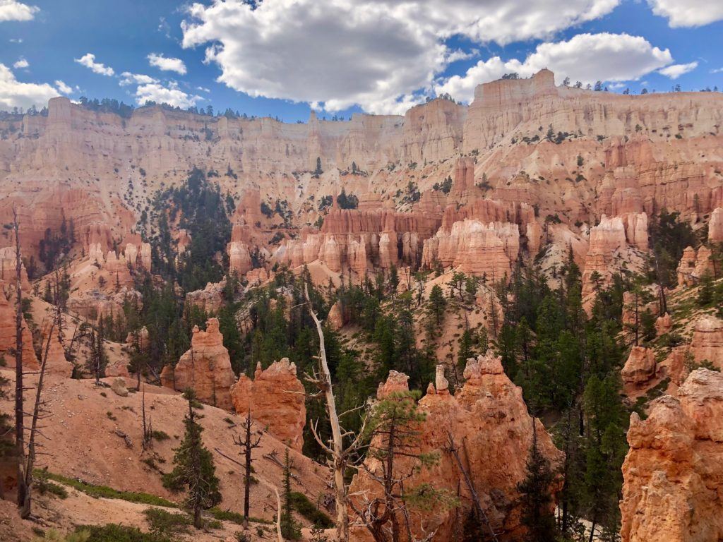
From Capitol Reef to Bryce Canyon National Park, it’s a two-and-a-half hour drive (about 120 miles). The park is famous for its tall rock spires—known as orange hoodoos—and encompasses several natural amphitheaters carved into the edge of a high plateau. The uniquely shaped rocks formed over thousands of years by erosion and tectonic uplift. Because these structures look so fascinating, more than 2.5 million people visit Bryce Canyon annually.
An 18-mile main road travels from the park entrance (on the north side of the park) along the rim of the plateau, with a series of 13 viewpoints scattered along it. Parking is available at various locations throughout the park, and a free park shuttle goes around to popular viewpoints and trails, also. Get a lay of the land before you go—you’ll find a downloadable map of the park here!
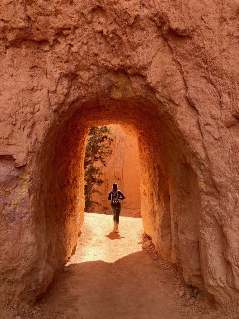
Perhaps the most popular hike in Bryce Canyon is the Queens Garden + Navajo Loop. The three-mile track combines the individual Queens Garden and Navajo hikes to take hikers both down and back up the canyon. Start at either Sunrise or Sunset Point (which are connected to each other by the loop) to take in views of the park’s most amazing sights. A couple of popular sites here are Wall Street and Two Bridges.
Another great day hike is the Peek-A-Boo Loop Trail, a strenuous five-and-a-half mile descent over 1,500 feet into Bryce Amphitheater. It’s almost twice as long as the Queens Garden + Navajo Loop and much less crowded. It also brings hikers to a scenic feature of the park called Wall of Windows, where natural cutouts in the hoodoos form rock formations which look like, well, windows!
A cool aspect of Bryce Canyon’s hikes is that many of them are connected. They can be combined and customized to create the perfect length and difficulty of hike. For instance, the Peek-A-Boo Loop can also be combined with the Queens Garden + Navajo Loop to create what’s called the Figure 8 Combination Trail (a six-and-a-half-mile double-loop through the amphitheater). Or, you can combine just the Navajo Loop with the Peek-A-Boo Loop to create a five-mile circuit.
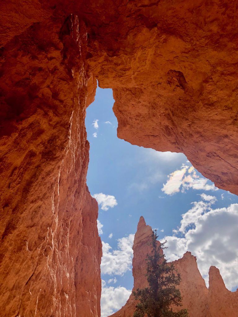
Whichever hike you choose, be aware that many of them are intense due to their steepness. Even the more mellow ones will be very dusty, as the trails are predominantly made of sand and orange dirt.
If the thought of a strenuous, dirt-filled hike is exhausting after the first three parks, at least cruise the rim road and stop to watch the sun go down. Bryce Amphitheater is stunning at sunset, when the fading light makes the orange hoodoos turn pink. Some of the best viewpoints are Rainbow Point (the highest point in the park), Bryce Point, Inspiration Point, Sunrise Point, and Sunset Point.
Note that the park has an elevation of about 9,000 feet, so temperatures are cooler than in surrounding areas. Bryce Canyon gets a good deal of snowfall from November to April, making for stunning winter scenery when fluffy white snow top the orange hoodoos.
However, the sun can still be intense at such a high elevation—wear sunscreen even if you think it isn’t hot enough to need it. July and August have frequent afternoon storms, so pack a light rain jacket if you come during this period.
If you’re camping in Bryce Canyon, stay at either of the two campgrounds in the park, North Campground and Sunset Campground. Sunset is open from April to October, while part of North Campground is open all year long. If you’d prefer not to camp, Bryce Canyon Pines Motel offers comfortable lodging in nearby Panguitch.
Zion National Park
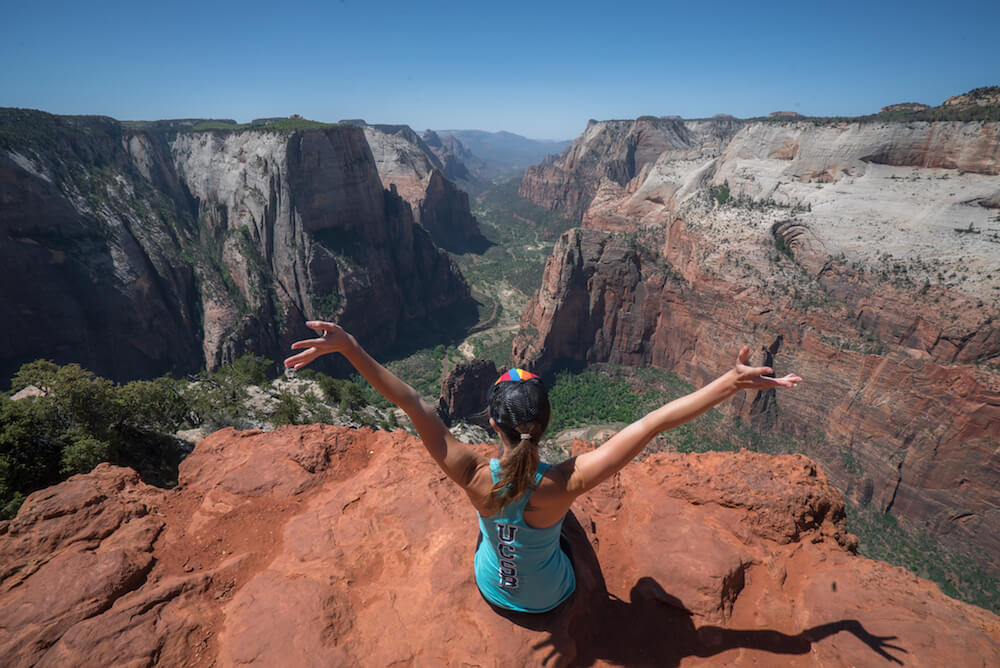
From Bryce Canyon, Zion National Park is just under a two-hour drive away, totaling about 85 miles. The park is also just a one-hour drive from the Saint George Regional Airport (to its immediate southwest) and a two-and-a-half-hour drive from the Las Vegas Airport. Both locations could be the end destination at which you return a rental car and fly out of the area.
The main feature of Zion National Park’s more than 200 square miles is the 15-mile-long Zion Canyon. The canyon can reach depths of more than 2,600 feet, and is cut by the winding North Fork of the Virgin River. At 4.5 million annual visitors, Zion is one of the most popular parks in the country.
The park is cut through at the bottom by Highway 9; two ticketing entrances are set up where the highway intersects with the park boundary. Be sure to download an official map of the park here.
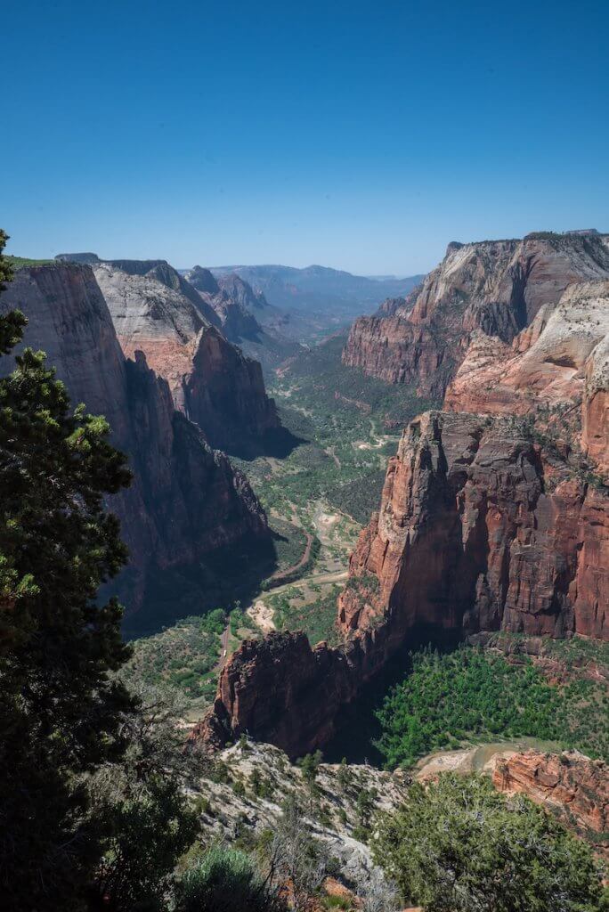
Some of the most popular hikes in Zion are Lower, Middle, & Upper Emerald Pools; Angels Landing; Observation Point; and The Narrows.
The Emerald Pools trails are fairly short in length and moderate in difficulty, so you can hike a combination of them to your preferences. Depending on the season and the water levels of the pools, they are sometimes swimmable, too! Either way, the Emerald Pools offer amazing views, waterfalls, and cool rock formations. If you do all three levels of the pools, it will be a three-mile hike.
Meanwhile, Angels Landing is infamous for its drama as one of the most dangerous hikes in the country. Exposed rock ledges offer only chain link handholds along the canyon wall to protect against a massive drop down the cliffside. But the struggle makes for some great views, and thrill seekers will love the five-mile adventure that gains 1,500 feet worth of elevation.
An alternative to Angels Landing is the Observation Point hike, which is a longer and more strenuous journey. However, this path is much safer for those afraid of heights. It ends at a higher lookout point than Angels Landing, so the views are great too! Another bonus is that it is often the less crowded of the two trails. (Read on the blog about Angels Landing versus Observation Point here.) The eight-mile trail covers a 2,100-foot elevation gain and takes about six hours roundtrip.
Lastly, The Narrows is a bucket list item for many hikers as the narrowest section of Zion Canyon. To reach its uniqueness and scenery you’ll have to forge the Virgin River on foot through a slot canyon. The whole path takes about eight hours round trip, so prepare for a long day if you want to see the whole thing.
There are two ways to do that hike: top-down and bottom-up. To do it from the top down, you’ll need a permit. Most visitors to Zion opt to start at the bottom and work their way upstream, which does not require any kind of paperwork. Water levels along the journey can vary. You may be in waters that reach your waist or just a few inches, depending on the time of year. Either way, the water is cold. Packing or renting equipment such as hiking poles and a waterproof backpack is a good idea for this one. At least hiking The Narrows from the bottom up allows for the option of simply turning around and heading back whenever you get tired.
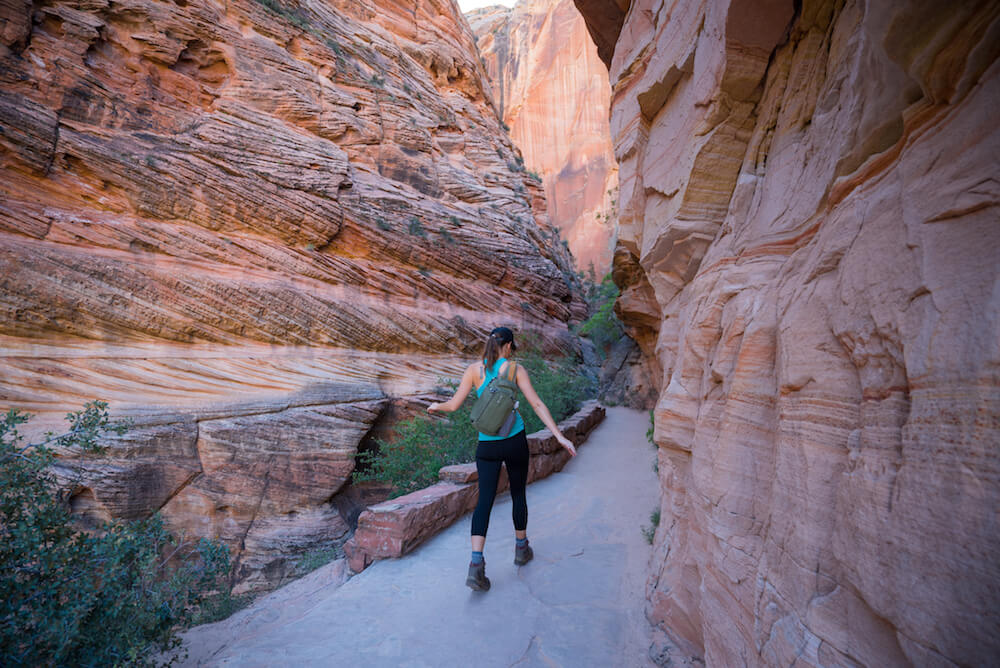
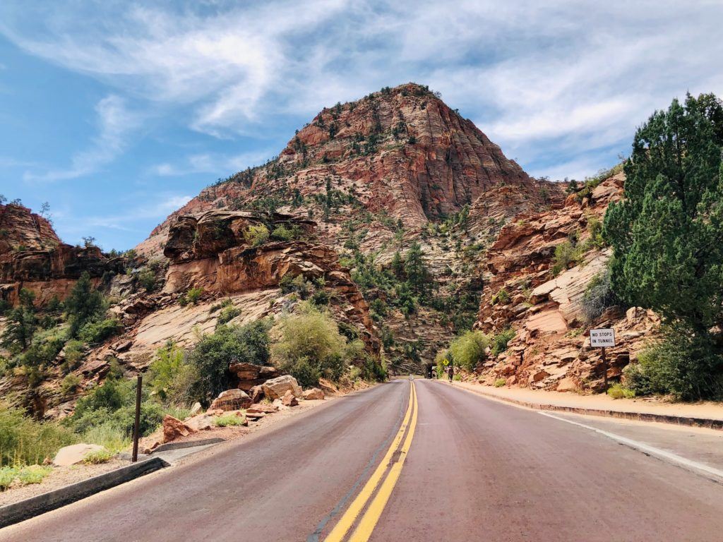
This will likely be the last park you visit—you might not have the energy to take on a massive hike like Observation Point or The Narrows in order to get the amazing views of Zion! As a relaxing alternative, drive to the small parking lot near the Canyon Overlook Trail. Follow the short walk to the lookout and you’ll get a sweeping view of the best of the park. Simply driving Highway 9 through the bottom portion of the park is an amazing experience—you’ll cruise through red rock tunnels and wind your way around amazing sandstone formations. Roll the windows down, turn the music up, and enjoy the true spirit of a road trip!
Here are some important things to keep in mind when you visit Zion:
Most of the park is inaccessible by car, so visitors can access the different locations and trailheads through the park’s shuttles. Typically, the shuttles are completely free and allow visitors to just hop on and off wherever and whenever they’d like.
If possible, enter the park early in morning or in the late afternoon to avoid crowds on popular hikes. Starting a hike between late morning and early afternoon practically guarantees that shuttle lines and trailheads will be packed, and consequently everything will be slower and more frantic. But if you decide to go after the crowds have subsided, don’t stay so late into the evening. You might miss the last shuttle back to the visitor center!
If you’d prefer to camp, there are three campsites available inside the park: Watchman, South, and Lava Point. Lava Point Campground is located about an hour north of the main canyon, near the Upper Kolob Plateau. Meanwhile, both Watchman and South Campgrounds are located in Zion Canyon.
If you’d prefer not to camp, stay in Springdale, a quaint and charming town immediately outside the southern park boundary and park entrance. Here you can park the car at your accommodation and take the free Springdale town shuttle to the park entrance. For some visitors, this option definitely beats the gamble of limited parking availability inside the park. Some great places to stay are Flanigan’s Inn and La Quinta.

When visiting the park, wear and pack layers. A 5,000-foot difference in elevation between the highest and lowest points in the park can cause temperature differences and the canyon walls and wooded areas provide a lot of shade on hikes, so it will often feel cooler than it would out in harsh direct sun. Plus, if you’re getting to the park early or staying into the evening, you’ll likely want a jacket.
Lastly, a few popular hikes are experiencing circumstantial closures and difficulties at the moment. For one thing, the Observation Point hike is currently closed due to rockfall. But you can access the viewpoint via less touristy parts of the park, like the East Rim Trail. The Narrows is still open for hiking, but don’t get the water in your nose or mouth. A toxic cyanobacteria bloom in the Virgin River has made the water extremely hazardous to humans and animals if ingested.
Tips & Tricks
Here’s a few last things to remember for your Utah national parks adventure:
- You’ll likely get very sweaty and dusty out on the trails, so bring a laundry bag for those dirty clothes after a long day out in the parks.
- Bring either two large water bottles or a hydration backpack—between the heat and the elevation, you’ll be going through water quicker than you’d expect, and there usually aren’t feasible options on the trailheads for filling up again.
- Download those park maps to your phone so that even without service, you’ll have an idea of where to go.
And with that, you’re all set to take on the Big Five Utah national parks! If you want to continue your road trip into Arizona, here’s the ultimate Utah and Arizona road trip itinerary to help you out.
Tom says
Just curious about the number of days to comfortably take this trip through the 5 national parks?
Kristin says
They’re not crazy far away from each other so you could probably do it in a week if you do one major hike at each, or you could condense to 5 if you only stop by Bryce to look at the overlook briefly or don’t go as far into Capitol reef, for example.
Rick Chavez says
If I fly into Salt Lake City to do a road trip to the 5 parks do you recommend flying back home out of Salt Lake City or Las Vegas? Also I am not a hiker. Can I do all 5 parks in 7-10 days?
Kristin says
Depends on how much the fee would be for returning the rental car at a different location but usually I like to minimize driving time. Yes that’s enough time especially if you don’t want to hike.